November is an exciting time to bird in the Central Valley! Changes in weather can result in huge changes in the status of birds in many locations. Here are six sites for possible outings and a variety of birds. This list contains some tried and true places but also a few new site for birders to explore. If you’re looking for more places to bird this November, read last year’s November suggestions.
Lincoln WWTP and Placer County Roads
Start by birding the Lincoln water treatment plant. There are several large ponds which can hold a variety of ducks. From the plant, you can drive nearby backroads of Placer County, searching flooded fields for wintering waterfowl and shorebirds. Several open dry fields may provide hunting grounds for raptors. Take I-80 east from Sacramento to Roseville. Take Hwy. 65 west to Sunset Boulevard; take West Sunset Boulevard, then right on North Foothills Boulevard. Turn left on Athens and right on Fiddyment Road to 1245 on the right. Please note hours are 7am to 3:30pm weekdays only, and birders must sign in and out at the office.
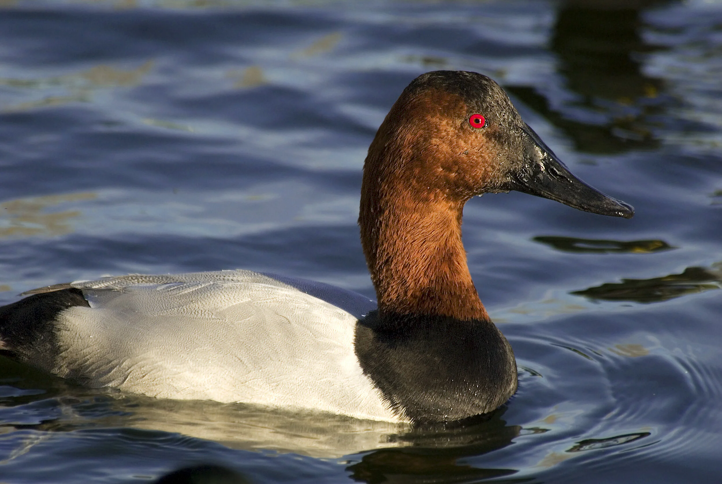
Canvasback were reported in November 2020 at the Lincoln WWTP, Image by Daniel Brown
Solano Lake/Putah Creek
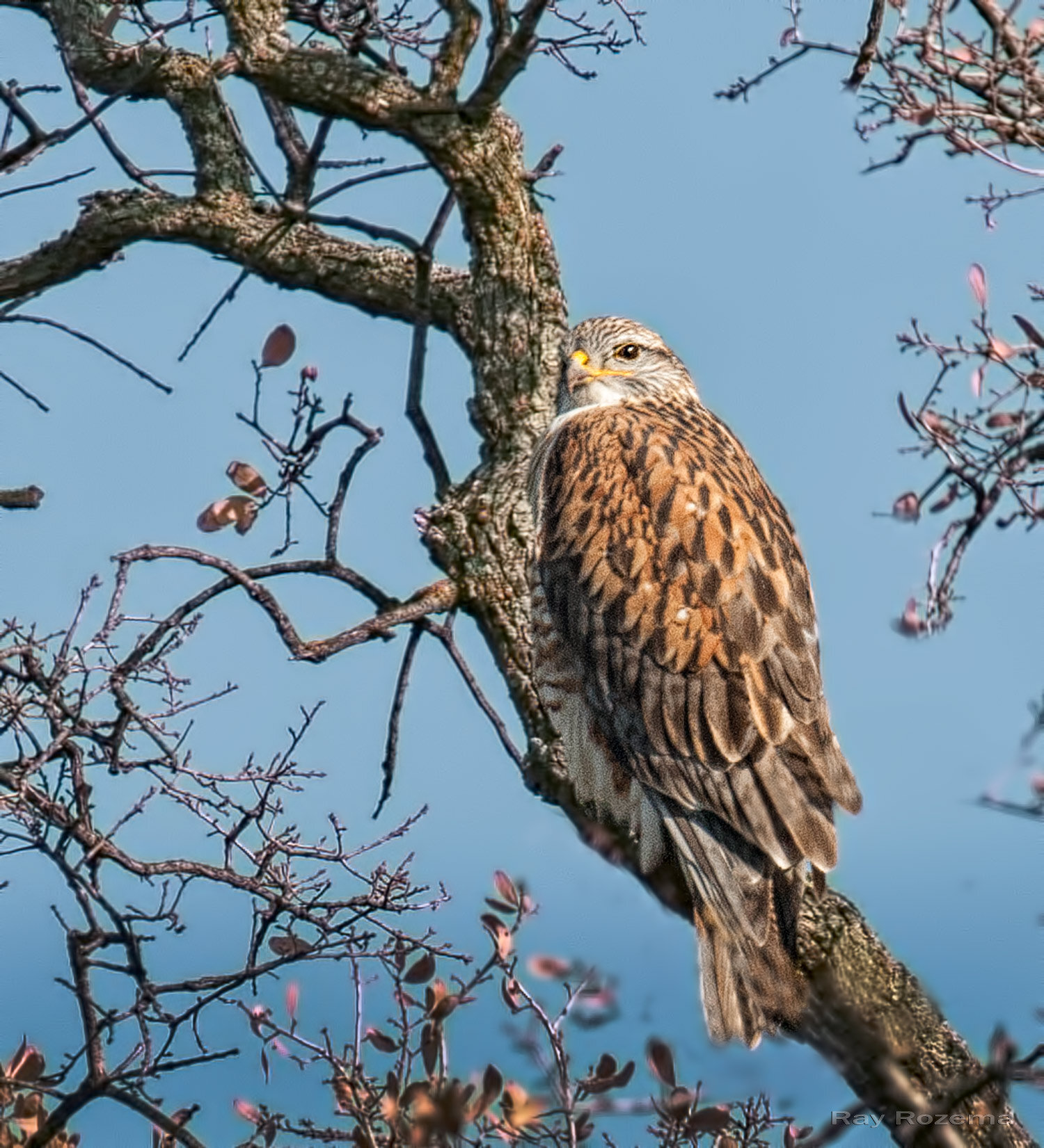
Putah Creek is home to many resident and wintering birds. Nearby Lake Solano is a good area for wintering ducks including possible Barrow’s Goldeneye and Hooded Mergansers. Phainopeplas and Brown Creepers are possible, and Pileated Woodpeckers have been found in the area. To get to Putah Creek, take I-80 to the Pedrick Road exit between Davis and Dixon. Head north on Pedrick Road After a mile or two, there is a bridge over the creek and the parking lot is on the left. To get to Lake Solano from Putah Creek, head further north on Pedrick Road and turn left on Russell Blvd. Continue west on Russell Blvd. past the town of Winters and follow the signs to Lake Solano Park. There is a $6 fee per car at Lake Solano Park. It is also worth heading slightly further up Highway 128 to Monticello Dam, where Canyon Wrens and Rufous Crowned Sparrows are sometimes found.
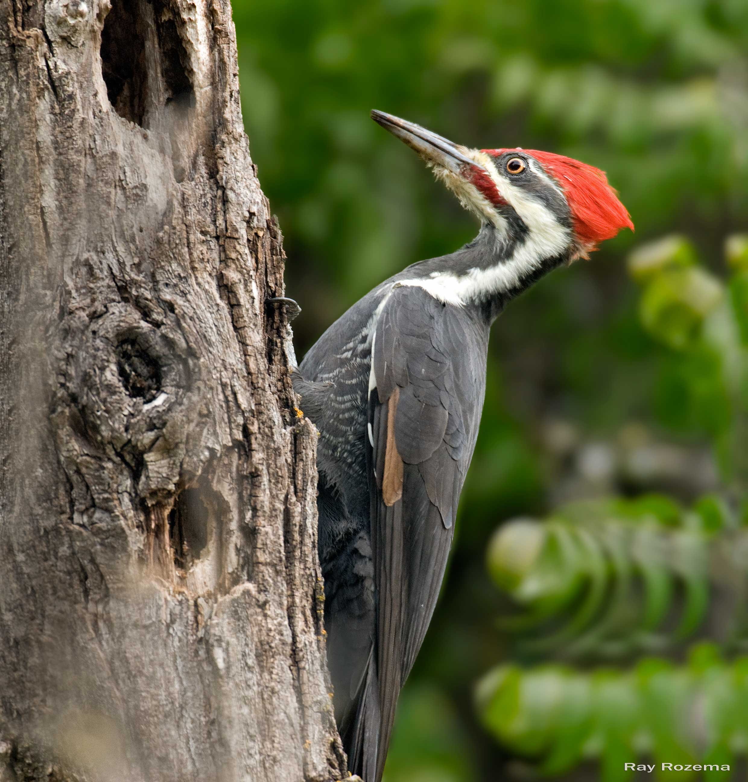
Pileated Woodpecker, Image by Ray Rozema
Salt Springs Valley
This area is located in western Calaveras County about an hour and a half drive
from Sacramento. The open valley and its lake are home to many wintering ducks, hawks, eagles, owls and grassland birds. To get there from Sacramento, take Highway 99 south to Highway 12 in the town of Lodi. Highway 12 intersects Highway 26 in the town of Valley Springs. Take Highway 26 south to Jenny Lind Rd. Jenny Lind Road becomes Milton Road which then intersects Hunt Road and Rock Creek Road. Hunt Road, Rock Creek Road and Salt Springs Valley Road form a loop around the lake and have plenty of places to pull off the road to look at the birds. Be prepared for cold, windy conditions and thick fog. This is an extremely rural area, and though gas stations, restrooms, and dining establishments can be found in Valley Springs and Copperopolis, there are none in the valley itself.
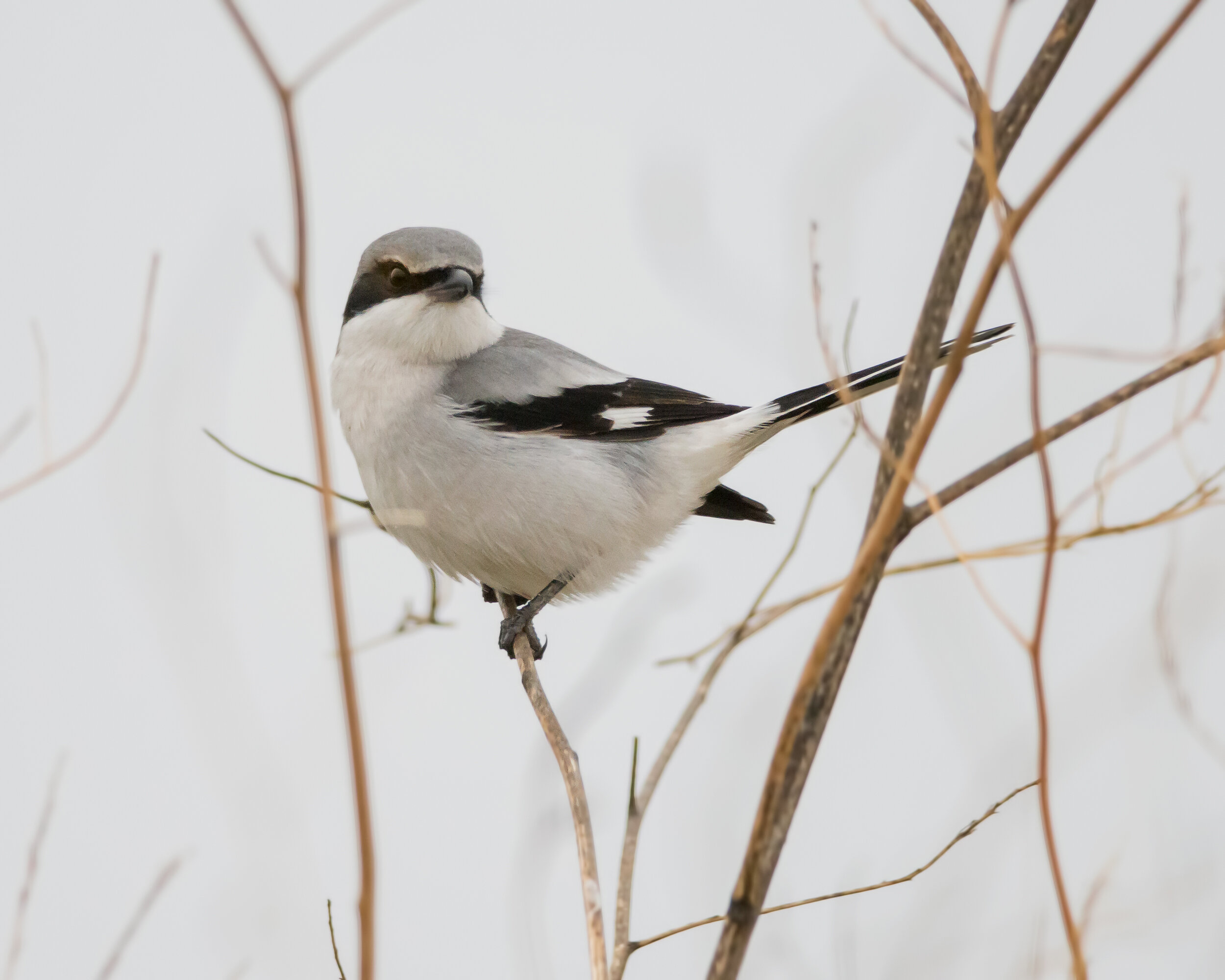
Loggerhead Shrike, Image by Daniel Brown
Robinson Road, Road 113 and Bird’s Landing
This is a great area for wintering raptors such as Ferruginous Hawks and Golden Eagles as well as Loggerhead Shrikes, Say’s Phoebes and with luck, Mountain Plovers and Tricolored Blackbirds. Traffic is sparse on these rural roads which helps make birding pleasant and rewarding. Take I-80 from Sacramento west about 19 miles and take the Hwy. 113 exit heading south. Go through Dixon and at 17 miles turn left on Robinson Road. You can drive this road and explore side roads such as Creed Road, Goosehaven Road, Flannery Road and McCormack Road. You can continue south across Hwy. 12 and take Birds Landing Road to Shiloh. These roads all have the possibility of good birding.
Ferruginous Hawk, Image by Ray Rozema
Colusa National Wildlife Refuge
Approximately 1 hour north of Sacramento, the Colusa NWR is a great location to view large waterfowl concentrations. There will be plenty of ducks and geese, as well as other wetland species, passerines and raptors. The auto tour route offers unique opportunities to view the birds. Be prepared for cold and damp weather. From Sacramento, take I-5 north to the town of Williams in Colusa County. Take Highway 20 east towards the town of Colusa. The wildlife refuge is on the south side of Highway 20 halfway between the towns of Williams and Colusa.
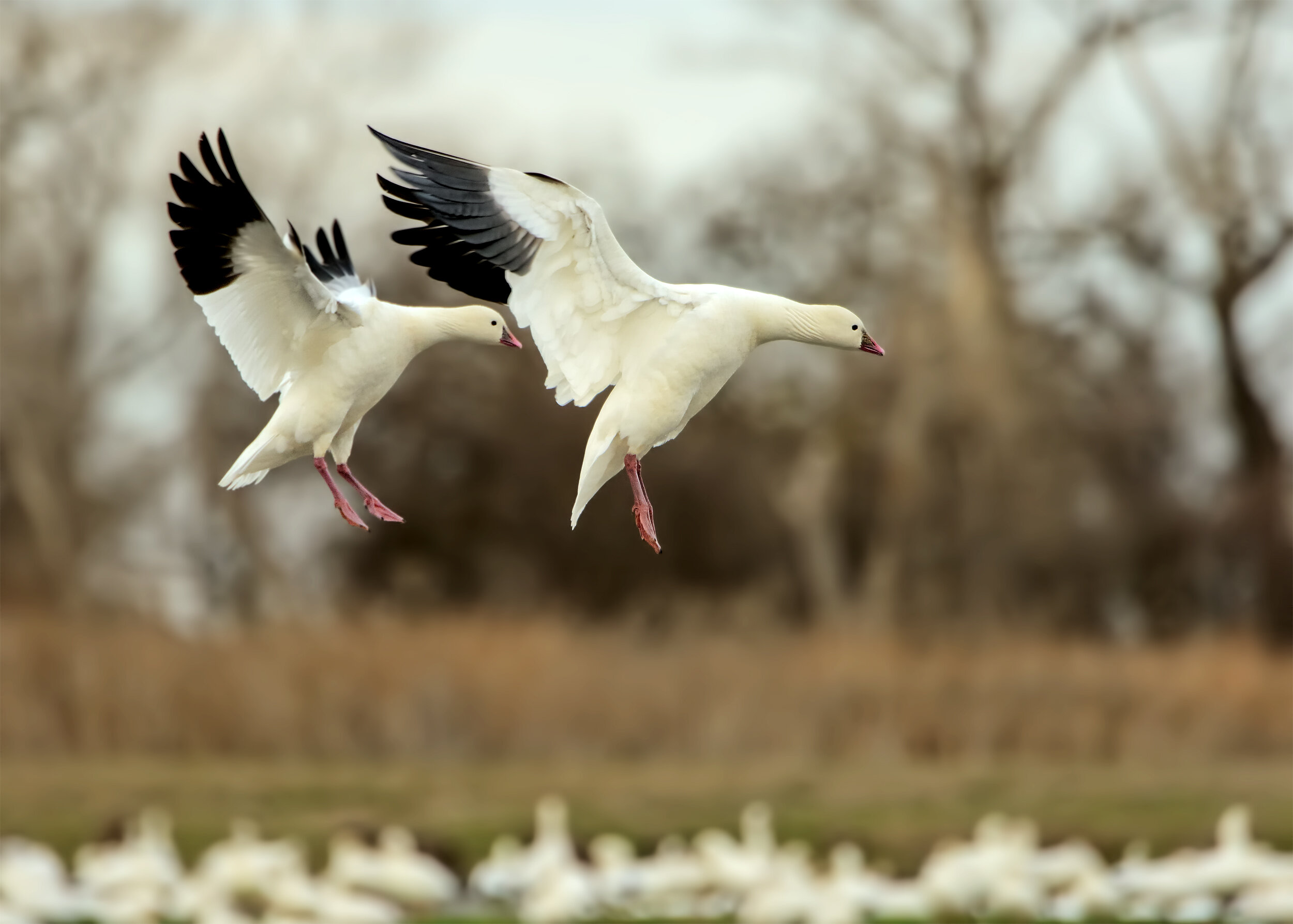
Ross’s Goose, Image by Daniel Brown
Quarry Trail
This area is located in the Auburn State Recreation Area at the confluence of the North and South Forks of the American River. Wrentits, Rufous-Crowned Sparrows, and other species typical of the Sierra Foothills are often seen here. Bald Eagles, Peregrine Falcons, Band-Tailed Pigeons, and even Canyon Wrens are possible as well. The first 2 miles of the trail are fairly flat and follow along the American River. The trail then starts to head uphill and continues for another 5 miles or so. To get there from Sacramento, take I-80 east to the town of Auburn. Take the exit for Highway 49 south towards Placerville. Once you cross the American River into El Dorado County, the parking lot for the trailhead is on the left side of Highway 49 and is fairly well marked.
-Ben Graber, Field Activities Committee