San Joaquin and Solano Counties
One of the most accessible areas for observing large numbers of Sandhill Cranes is located just south of Thornton west of Interstate 5. Several roads provide easy access to the fields where the cranes feed, rest, and dance. An ecological reserve administered by the California Department of Fish and Game is located on Woodbridge Road. Entrance to the reserve is not allowed, but excellent viewing is available from the parking area and viewing platform that overlooks the reserve. Accessibility to this site is enhanced by a raised paved viewing platform which is accessed by a ramp, handicapped parking spaces, and an accessible port-a-loo. A valid lands pass or valid fishing or hunting license is required. To purchase a valid lands pass visit CDFW’s Online License Sales and Services. Passes can be purchased at the site using a smartphone equipped with a QR code reader.
Birding the site: From October through March, many fields in this area contain Sandhill Cranes in varying numbers, with the best time for observation occurring during January, February, and March when some fields are flooded. There are also large numbers of wintering shorebirds and waterfowl. Greatest numbers of Sandhill Cranes are usually along Woodbridge Road. If you are after a species count, give the barnyards along the road a close look. You should find House Finches, crowned sparrows, pheasants, and even a Belted Kingfisher.
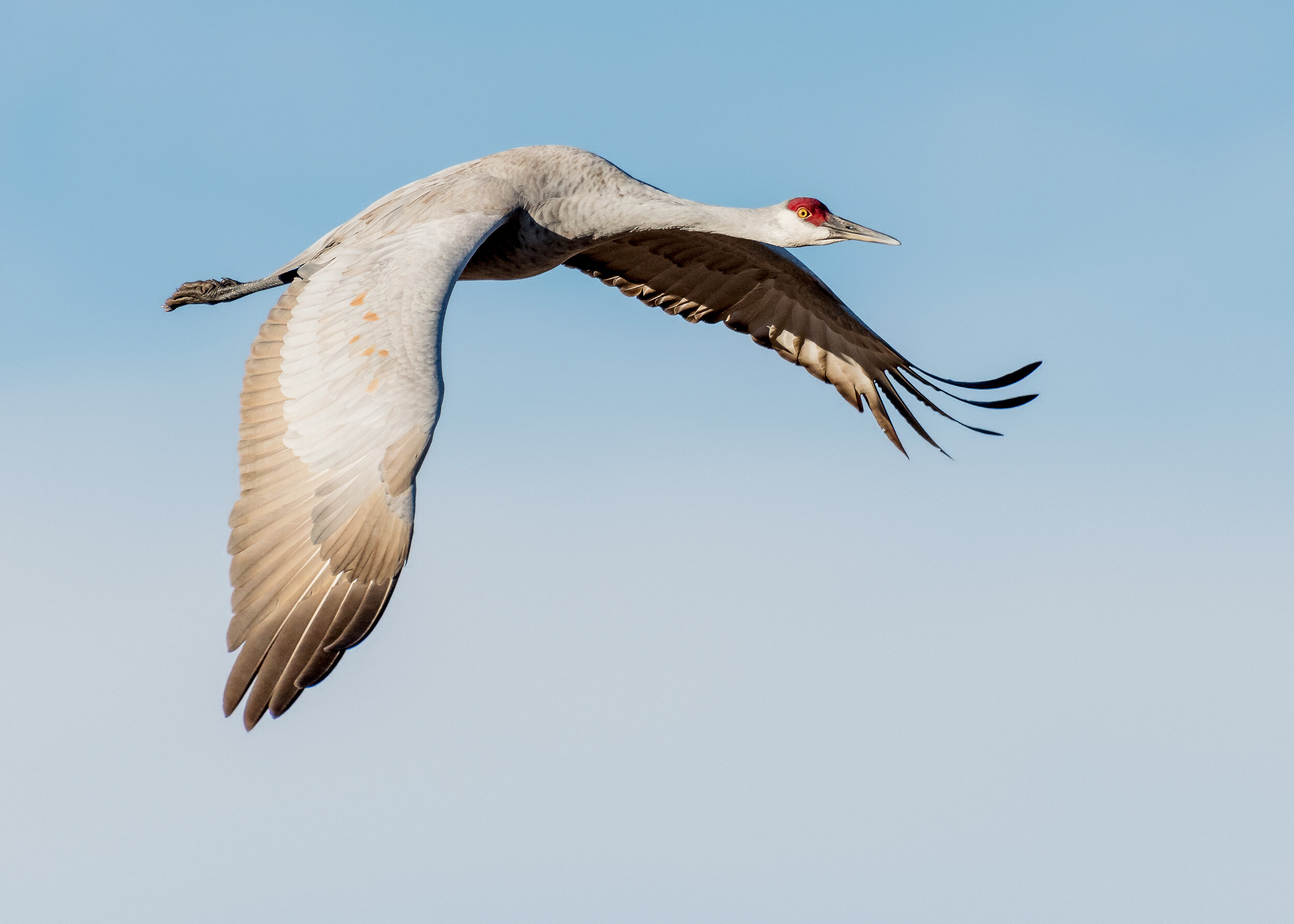
Sandhill Crane, Image by Daniel Lee Brown
Generally, the Sandhill Cranes will first be spotted off in the distance appearing like fence posts or a herd of sheep along the dikes and ditches. Sometimes you may be lucky and find them standing in small groups very near the roadside although generally, they will be further out. In the early spring you can watch them display their courting dance.
The ecological reserve is the best place for a spectacular sight at sunset as the cranes return to this area by the thousands to roost for the night. The reserve is flooded to allow the cranes to roost with their feet in the water, which discourages predators. After the hunting season is over and during the period when the fields are flooded by farmers for alkali control, there will be thousands of shorebirds, ducks, geese, and swans feeding and resting in the area. During this time, the cranes will be found standing in large groups along the levees and ditch banks.
At the west end, Woodbridge Road dead-ends at the Mokelumne River, so retrace your route back to the highway, turn left and proceed north back to Peltier Road. Turn left (west) on this road for another crane area. At Blossom Road, turn right and look for Cinnamon Teal, Common Gallinule, Pied-billed Grebes, and American Bitterns in the slough. Where Blossom Road intersects the Walnut Grove-Thornton Road, turn left (west) from Blossom onto this road and proceed 3.0 miles to the Staten Island Road and turn left. Large numbers of cranes and other waterbirds may be seen in the flooded fields. Access here is only along the public road. The end of the public road is clearly marked. There are flooded fields intermittently along the entire length of Walnut Grove- Thornton Road and, depending on the water level, they may be home to thousands of wintering shorebirds and waterfowl. The best time for viewing in this area is November through February. eBird Sightings
The only caution for many winter days is the possibility of heavy fog making it almost impossible to see cranes and other wildlife. The state offers guided tours during the height of Sandhill Crane presence. For specific dates and times, visit the California State Fish and Wildlife website.
Directions: From Sacramento, take Interstate 5 for 27 miles south of Highway 50. Exit at Peltier Road and turn left, or east, under the freeway. Turn right on the frontage road and proceed south for 2.0 miles. Turn right on Woodbridge Road and drive 2.5 miles west until you see the sign for the reserve and a parking lot/pull-out area on the left.
Cecil and Evelyn Smith; updated by Maureen Geiger

